HIKING CERRO BANDERA
We will pick you up from your accommodation in our van that will take us to the local water reservoir, the starting point of the Dientes de Navarino trekking circuit.
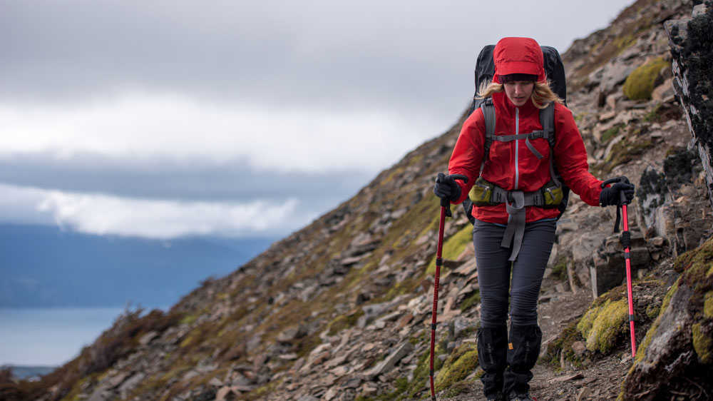
After a briefing at the information board, we will provide you with hiking poles and a snack pack for you to fuel up on during the hike. Please remember to bring your own water bottle as this helps us avoid the use of disposable plastics and reduces unnecessary risks associated with the spread of viruses and diseases.
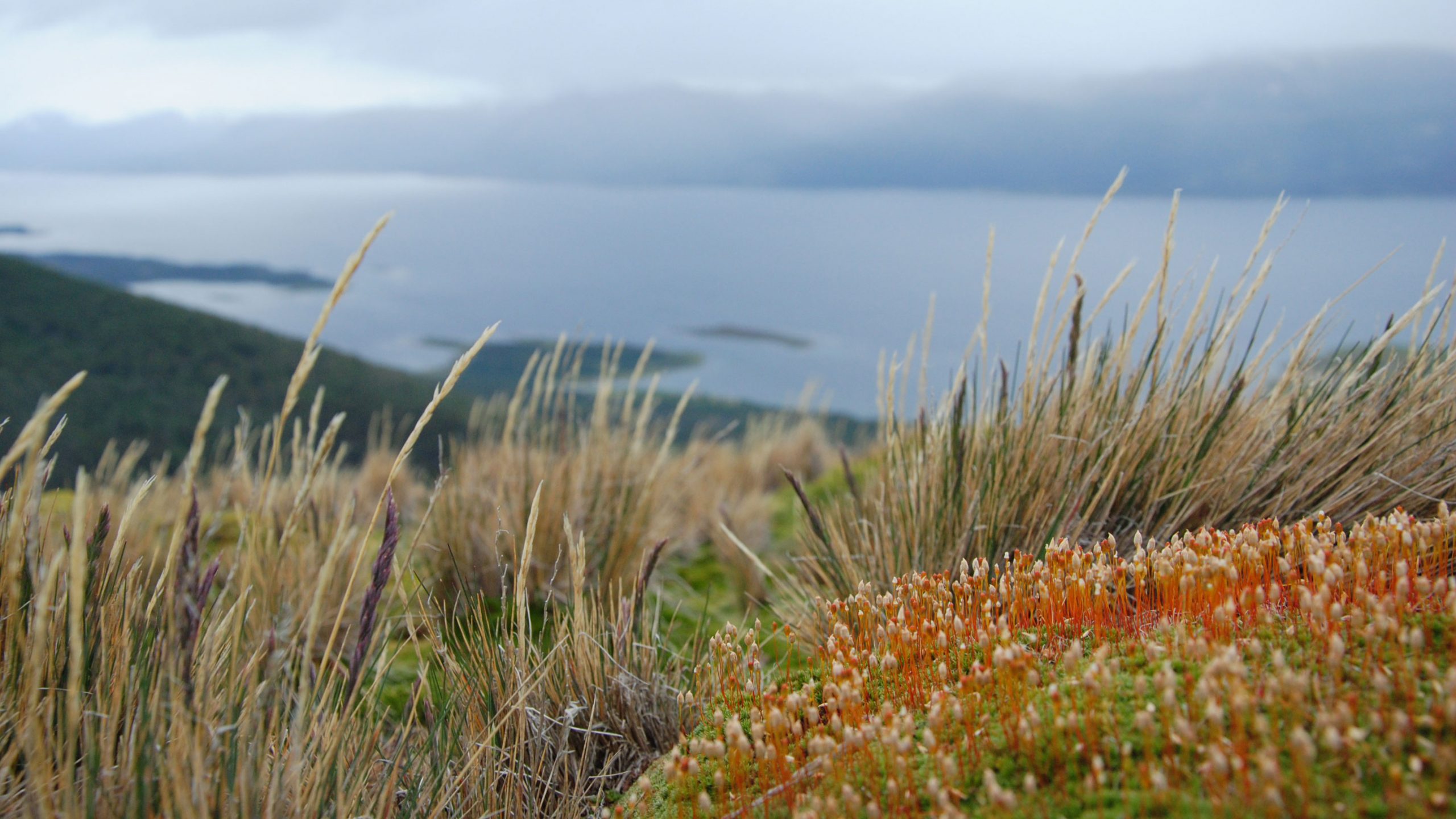
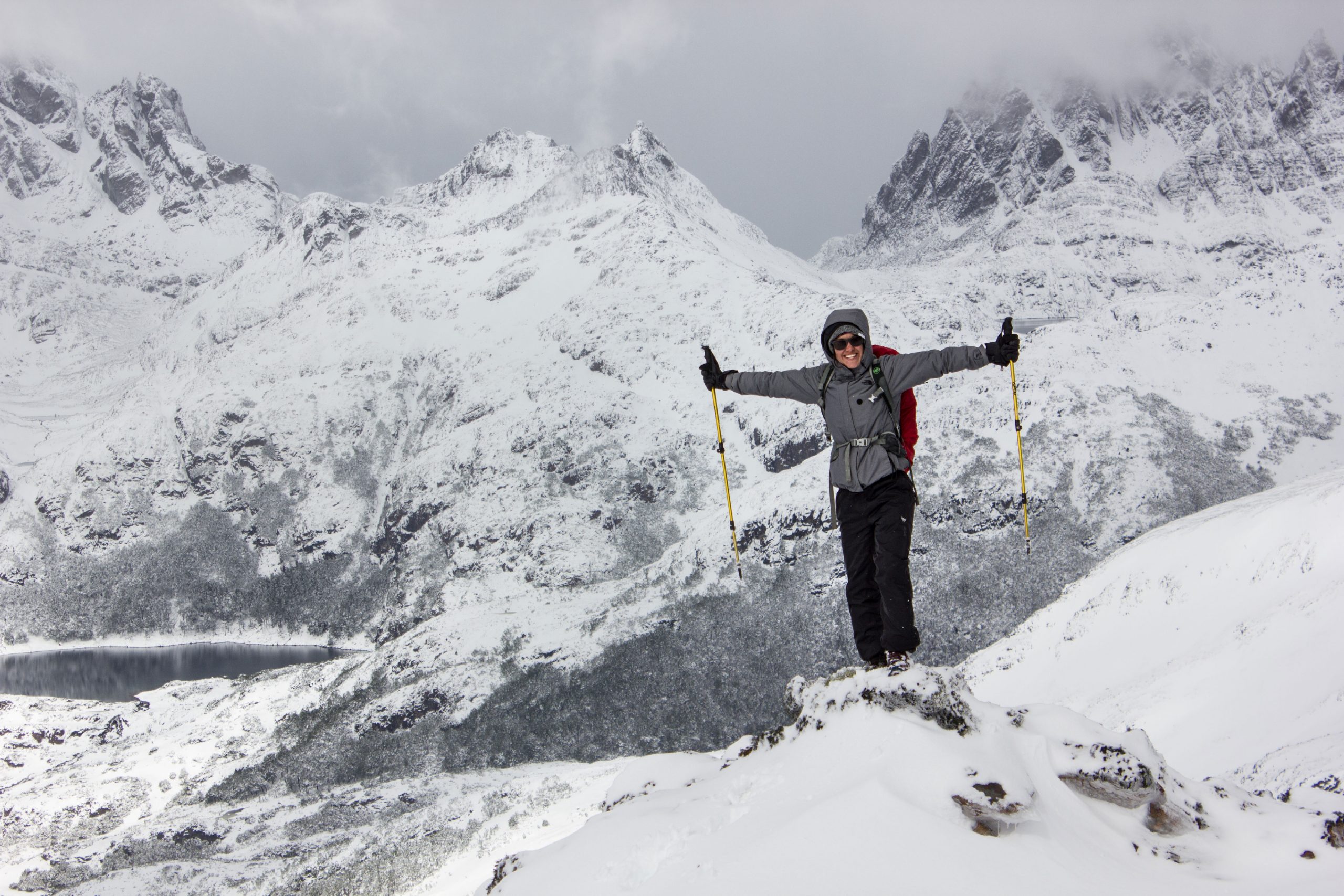
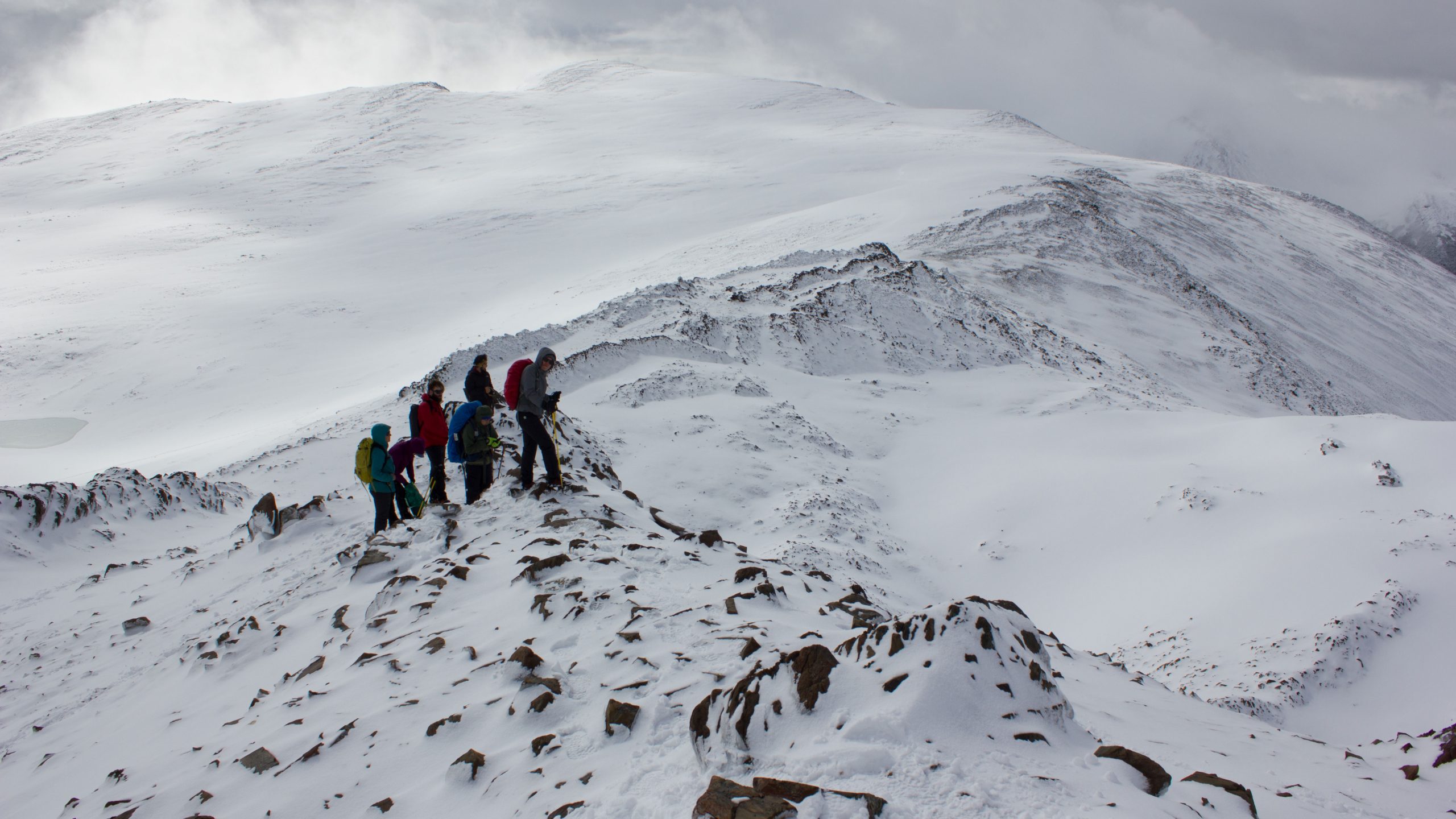
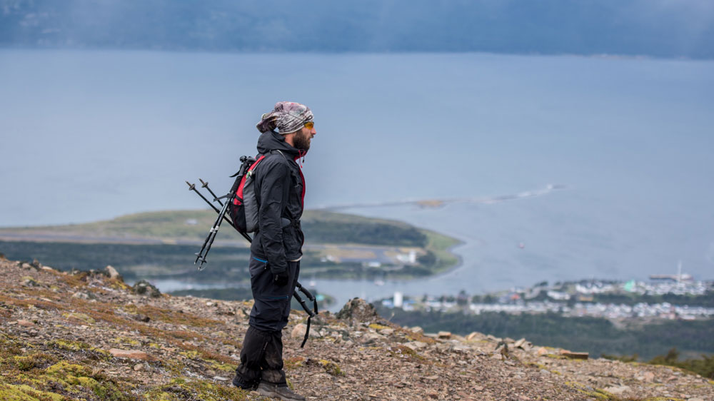
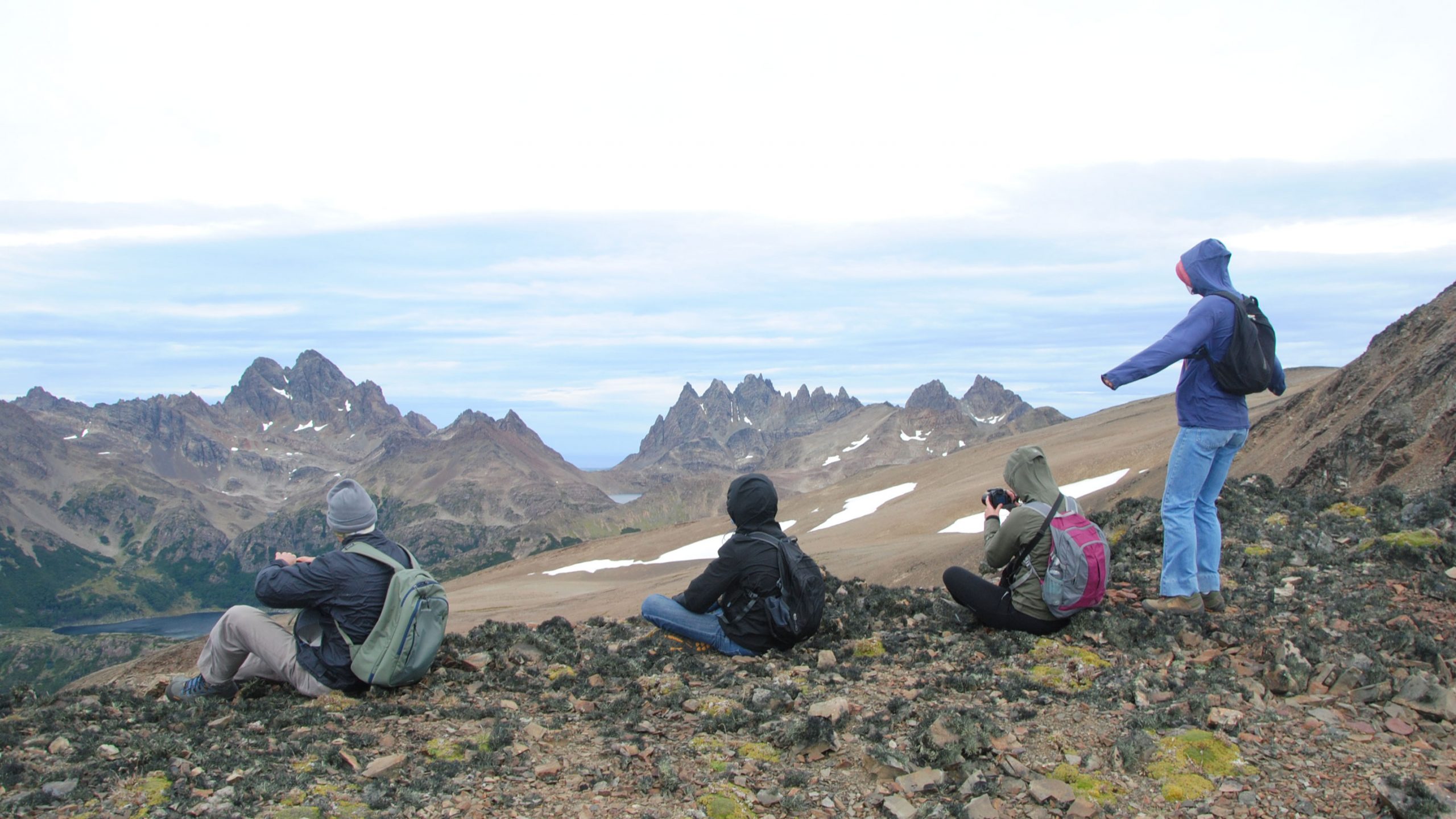
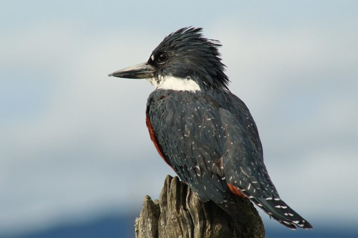
We will begin our hike by venturing into the southernmost forests on the planet, where we will learn to differentiate some tree species native to the region, as well as other characteristic plants and bushes. We will also be on the lookout for any birds that may pass by to greet us along the way. This is a 3.5-kilometer hike up to 650 meters above sea level to Cerro Bandera (we start at 50 meters above sea level). From the summit, we have the best views of Puerto Williams, the Beagle Channel, Tierra del Fuego to the north (weather permitting, we may even see the Argentine city of Ushuaia), and the peaks of the famous Dientes de Navarino to the south.
Depending on the weather conditions after taking the obligatory photo on top (this is an area highly exposed to wind), we will enjoy a warm beverage and begin our descent.
-
departureYour accommodation
-
Departure time9:00
-
Return time13:00
-
It includesSpanish / English guideTrekking sticksWe will pick you up by vehicleSnack
-
Not includeIt is recommended to wear waterproof clothing.Personal water bottle
Similar tours
VAN TRIP NATURE CULTURE HISTORY
Si no dispones de mucho tiempo y quieres «empaparte» de todo, esta es tu salida: City Tour, paisaje, vestigios yaganes, reliquias de la cuasi guerra, y una caminata que termina en la cascada más famosa de la isla Navarino!